You Used to Navigate by Instinct, Landmarks, and Luck
You Used to Navigate by Instinct, Landmarks, and Luck
There's a particular kind of panic that younger drivers today will never fully understand. You're on an unfamiliar highway, the exit is coming up fast, and the directions you scribbled on a napkin before leaving the house just say "turn after the Sunoco." Which Sunoco? There are two. You guess wrong. You're now heading toward a town you've never heard of.
For most of the 20th century, this was just part of driving somewhere new. Navigation wasn't a feature built into your phone — it was a skill, a ritual, and sometimes a genuine ordeal.
The Map Was the Technology
The folded road map was America's original navigation device, and it was everywhere. Gas stations gave them away for free. Glove compartments were stuffed with them. AAA members received something called a TripTik — a personalized, spiral-bound booklet of route segments that a real human being assembled for you before your trip, highlighting your specific path and flagging construction zones along the way. People treasured these things.
But maps had a fundamental limitation: they couldn't tell you where you were. They could only show you where everything else was. Figuring out your own position on that grid of lines and highway numbers required spatial reasoning, careful attention to mile markers, and a willingness to admit when you'd drifted off course — which, for a significant portion of the American driving public, was a step too far.
So people improvised. You'd memorize a sequence of turns before leaving home, writing them out longhand on index cards or notebook paper. You'd rely on landmarks — "turn left at the water tower," "go past the Dairy Queen and keep going for about two miles" — because that's how locals described the world around them. The landscape itself was the instruction set.
Asking for Directions Was a Social Contract
When the landmarks failed and the napkin directions ran out, you stopped and asked someone. This sounds simple, but it was its own experience entirely.
Gas station attendants — back when gas stations had attendants — were the unofficial information desks of the American road. They pumped your gas, checked your oil, and told you how to get to the interstate with the casual authority of someone who'd answered that same question a hundred times. Stopping at a diner, a hardware store, or a roadside produce stand to ask for help wasn't embarrassing. It was normal. It was expected.
And the directions you received were wonderfully, sometimes dangerously local. "Go down past where the old mill used to be" was a real thing people said. So was "you can't miss it" — which was almost always followed by missing it completely. The person giving directions knew the area so intimately that they'd skip entire steps, assuming you shared their mental map of the neighborhood. You didn't. That's why you were asking.
The First GPS Devices Changed Everything — Slowly
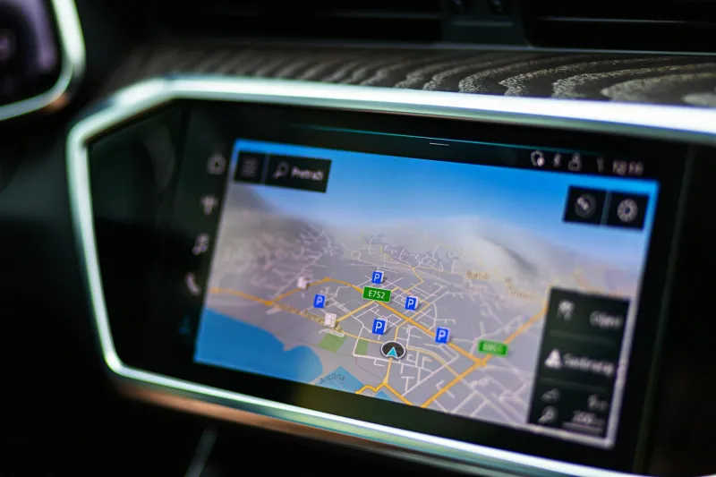
Consumer GPS units started appearing in the late 1990s, but they were expensive, clunky, and far from universal. The real shift came in the mid-2000s, when dedicated devices like the Garmin nüvi and TomTom became mainstream, and then again around 2008 and 2009 when Google Maps arrived on smartphones and made the whole thing free.
The transformation was almost instant. Within a few years, the paper map went from a household staple to a curiosity. AAA still offers TripTiks — technically — but most members have never requested one. Younger drivers have never owned a road atlas. The entire apparatus of pre-digital navigation collapsed in less than a decade.
Today, Google Maps processes over one billion kilometers of directions every single day. Waze crowdsources real-time traffic data from millions of drivers simultaneously. Your phone knows about the accident on I-95 before the news does. The idea of genuinely not knowing how to get somewhere, in real time, while sitting in a car, has become almost abstract.
What the Wrong Turns Actually Gave Us
Here's the thing about getting lost: sometimes it led somewhere interesting.
That unplanned detour through a small town in the Shenandoah Valley. The roadside BBQ place you spotted because you'd taken the wrong exit. The conversation with a stranger outside a gas station in rural Mississippi that you still think about. None of that happens when a voice in your pocket is issuing turn-by-turn instructions and recalculating the moment you deviate.
This isn't nostalgia for inconvenience. Getting genuinely lost on an unfamiliar highway at night, with a sleeping kid in the backseat and no idea how far you are from the next town, is not charming. The old way was stressful, inefficient, and occasionally dangerous.
But there was a texture to pre-GPS travel that's genuinely gone. You had to engage with the physical world more actively — reading signs, watching for landmarks, asking real people real questions. You built a mental model of where you were and how the roads connected. You had a relationship with the geography that turn-by-turn navigation quietly erodes.
The Map Knew the Roads. You Had to Know Yourself.
Navigation used to require something from you. Attention, preparation, the humility to stop and ask. The shift to GPS didn't just make driving easier — it offloaded an entire cognitive task to an algorithm, and we handed it over without much hesitation.
Which makes sense. Convenience usually wins. But next time your phone signal drops in the middle of nowhere and the blue dot on your screen freezes, notice the particular quality of the panic that follows. That's the feeling your parents and grandparents managed every single time they drove somewhere they'd never been.
They figured it out. Usually.