The Art of the Wrong Turn
In 1987, my family took a summer road trip from Ohio to Colorado. Somewhere outside Kansas City, my dad missed an exit, and instead of spending five minutes getting back on track, we drove for two hours through rural Missouri before admitting we were hopelessly lost. That detour led us to a roadside diner where the pie was legendary and the waitress called everyone "honey." We still talk about that meal thirty-five years later.
Getting lost wasn't a malfunction of the system — it was a feature. Before GPS satellites began micromanaging every mile of American highway travel, wandering off course was how families stumbled into the best stories of their vacations.
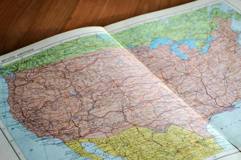
The AAA TripTik: Your Paper-Based Co-Pilot
Planning a cross-country drive in the 1980s started with a pilgrimage to your local AAA office, where a travel counselor would create your personalized TripTik — a spiral-bound booklet of strip maps highlighting your exact route. This wasn't just directions; it was a curated travel experience, complete with recommended stops, scenic detours, and warnings about construction zones.
The TripTik was simultaneously incredibly detailed and utterly useless the moment you deviated from the predetermined path. Miss one turn, and you were navigating uncharted territory with nothing but gas station maps and the kindness of strangers.
Families treated their TripTik like a sacred text, studying it over breakfast at roadside motels, arguing about alternate routes, and carefully tracking progress with highlighters. The navigator — usually mom — became the expedition's cartographer, responsible for interpreting cryptic highway signs and calculating distances between rest stops.
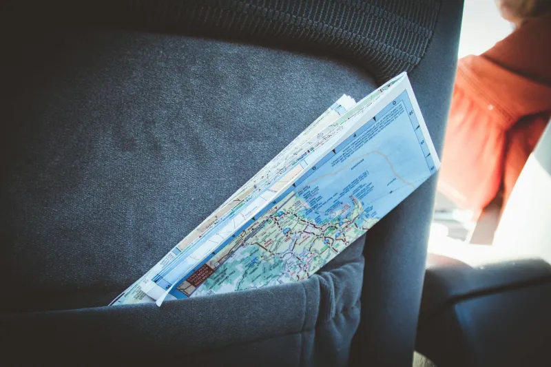
The Folding Map Frustration Olympics
Every glove compartment contained a collection of road atlases and state maps that had been folded and refolded so many times they resembled fabric more than paper. The Rand McNally Road Atlas was standard equipment, its pages marked with coffee stains and highlighted routes from previous adventures.
Unfolding a map while driving required the coordination skills of a NASA mission specialist. The passenger would wrestle with an accordion of paper that inevitably expanded to cover the entire dashboard, while the driver squinted at tiny highway numbers and tried to correlate them with roadside signs.
Refolding the map correctly was considered a minor miracle. Most families eventually gave up and stuffed the crumpled geography back into the glove compartment, where it would remain in a permanent state of cartographic chaos.
The Human GPS Network
When electronic navigation failed — which was always, because it didn't exist — travelers relied on the informal network of gas station attendants, diner waitresses, and friendly locals who served as human GPS units. These encounters weren't just about getting directions; they were cultural exchanges that connected travelers with the communities they were passing through.
Gas station attendants were the unsung heroes of American road travel, capable of providing detailed directions to anywhere within a 50-mile radius. They'd draw routes on napkins, recommend shortcuts through residential neighborhoods, and warn about speed traps on county roads.
These interactions created moments of genuine human connection that GPS navigation has largely eliminated. You learned about local festivals, family-owned restaurants, and scenic overlooks that weren't marked on any official map.
The Scenic Route Wasn't Optional
Without turn-by-turn navigation optimizing for efficiency, every road trip included unplanned detours through small towns, past roadside attractions, and down scenic byways that existed only because someone had made a wrong turn and discovered something wonderful.
State highways and county roads weren't just alternatives to the interstate — they were portals to an America that existed between the major destinations. You'd find yourself driving through downtown squares with courthouse gazebos, past hand-painted signs advertising local honey, and through landscapes that reminded you why people fell in love with this country in the first place.
The Adventure of Not Knowing
The uncertainty of pre-GPS travel created a different relationship with the journey itself. When you couldn't predict exactly when you'd arrive or what route you'd take to get there, every mile contained potential for surprise. That roadside antique shop, the historic marker you'd never heard of, the local festival happening in the town square — these discoveries were only possible when navigation was imprecise.
Families developed a tolerance for inefficiency that seems almost quaint today. An extra hour on the road wasn't a failure of planning; it was an opportunity for adventure. Getting lost together became a shared experience that brought families closer rather than driving them crazy.
The Death of Serendipity
Modern GPS navigation has eliminated the geographical lottery that made road trips unpredictable. Today's travelers follow algorithmic recommendations to the most efficient route, bypassing the small towns and scenic detours that once defined American highway culture.
We've gained efficiency and lost discovery. The GPS knows exactly where you are, where you're going, and how long it will take to get there. But it doesn't know about the world's largest ball of twine, the diner with the best apple pie in three states, or the scenic overlook that's worth an extra twenty minutes of driving.
The New Geography of Control
Today's road trips are exercises in precision rather than exploration. Travelers research destinations on TripAdvisor, book accommodations through apps, and follow GPS directions with religious devotion. The spontaneity that once defined American road culture has been engineered out of the experience.
When navigation is perfect, getting lost becomes impossible. But in eliminating the possibility of being geographically confused, we've also eliminated the possibility of being pleasantly surprised.
Rediscovering the Art of Getting Lost
Some modern travelers are deliberately choosing inefficiency, turning off GPS navigation and relying on paper maps for the simple pleasure of not knowing exactly where they're going. These digital detox road trips represent a conscious rejection of optimization in favor of discovery.
The most memorable road trip moments still happen when technology fails or when travelers choose to ignore it entirely. Getting lost remains one of the best ways to find something unexpected, whether it's a hidden restaurant, a scenic vista, or simply a reminder that the journey can be more interesting than the destination.
The highways are still there, connecting the same small towns and scenic overlooks that enchanted travelers decades ago. The only difference is that now you have to choose to find them rather than stumbling across them by accident. Sometimes the best navigation is no navigation at all.